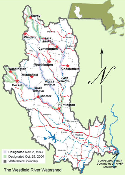
View our Maps and plan your next trip to the river and see what it has to offer.
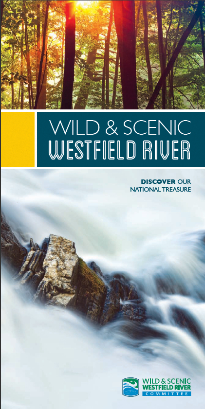
View our Interactive Brochure and Map and plan your next trip to the river to view its beauty.